


C-Map Reveal Inland Maps
July 6, 2026 | by EchoWake员工
Available online
Overview
C-Map Reveal Inland Maps is listed as a direct-purchase product. Confirm package contents, fulfillment path, warranty eligibility, shipping, and inventory before shipping an order.
Detailed Parameters
| Brand | C-MAP |
|---|---|
| Model | C-Map Reveal Inland Maps |
| SKU | LCMI |
| Price | 179.99 |
| Availability | Available online |
| Product Type | Digital chart / map card |
| Screen Size | Not applicable |
| GPS / Mapping | Digital map/chart product; select the correct region and device compatibility |
| Sonar Type | Not a sonar product |
| Included Transducer | Digital chart/map product; regional version varies by option |
| Boat Fit | Requires compatible chartplotter; verify region and model support |
| Kayak Fit | Requires compatible chartplotter; verify region and model support |
| Trolling Motor Fit | Requires compatible chartplotter; verify region and model support |
| NMEA 2000 | Not applicable unless paired device requires it |
| Install Difficulty | Digital chart setup; verify device compatibility |
| Transducer Support | Not a sonar product |
| Mapping Notes | Digital map/chart product; select the correct region and device compatibility |
Use Cases
- Mapping upgrade
- Lake chart planning
- Navigation reference
Key Specs
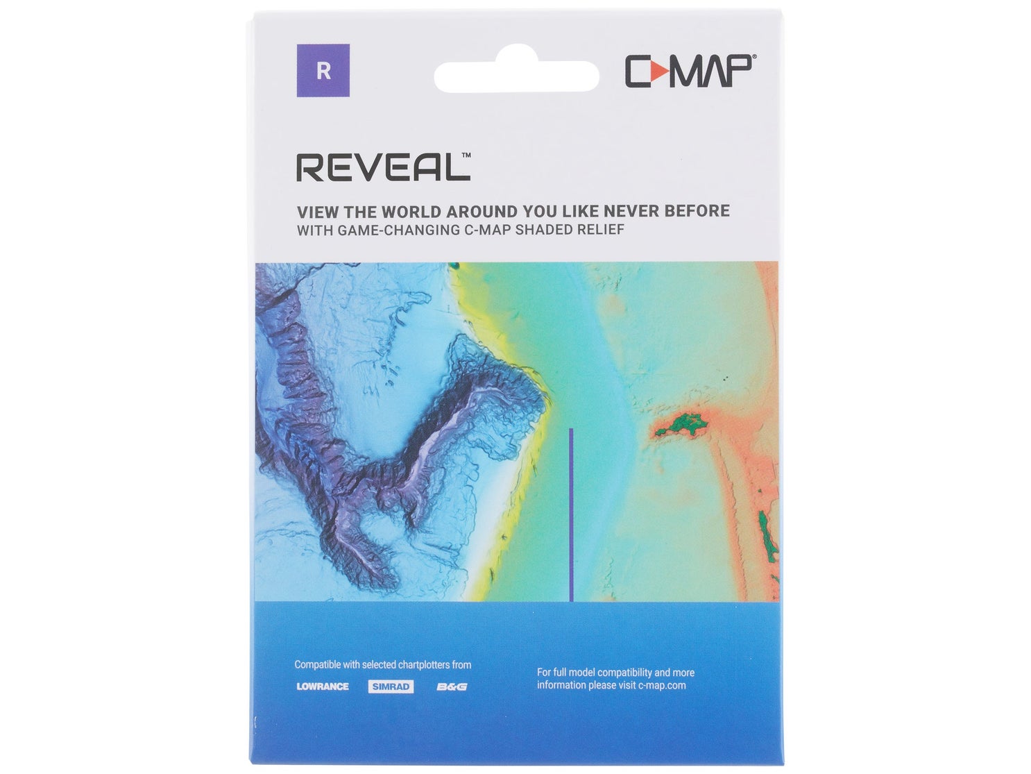
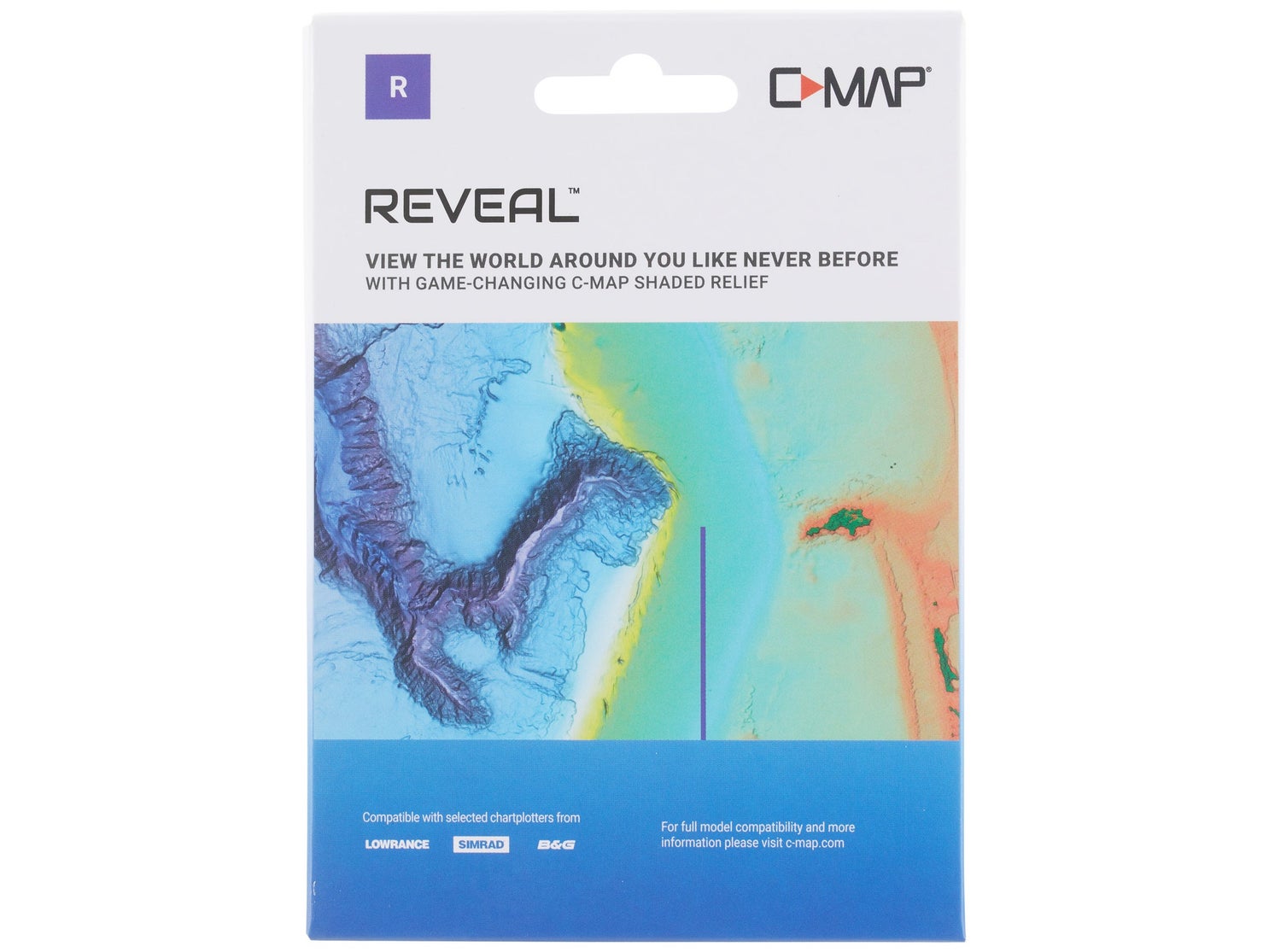
- Delivering everything that anglers demand for safe navigation, plus advanced features that provide a technological edge on the competition, the C-Map Reveal Inland Maps come loaded with features that make it easier to fi
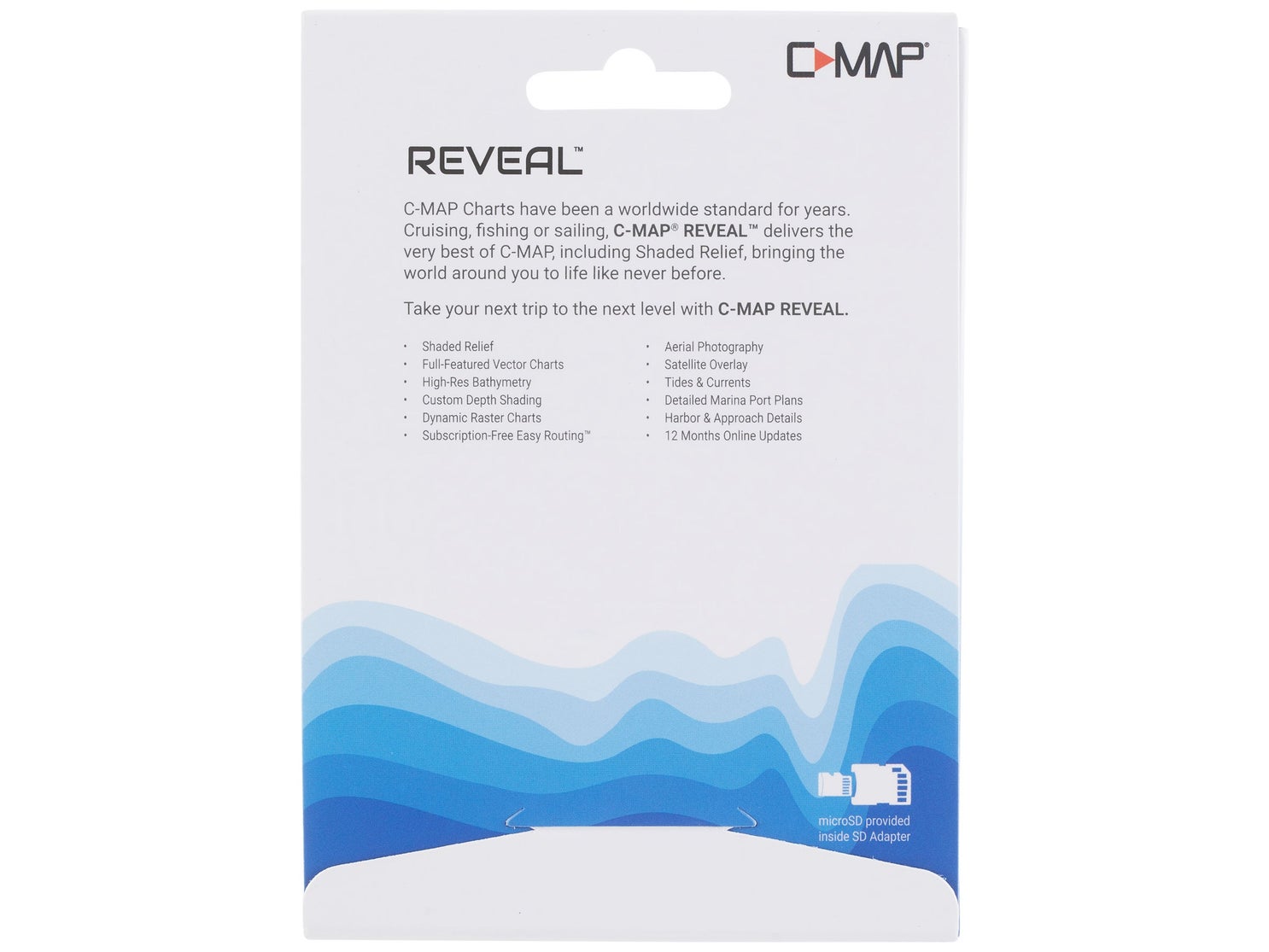
- Full featured vector charts – Provide boaters with the accurate, up-to-date vector chart detail including Depth Areas & Contours, Spot Soundings, NavAids, Light Sectors, Wreck/Obstructions, and more.
- Custom Depth Shading – Contours to display the highest level of information about underwater pinnacles, ledges, and canyons that are magnets for fish.
- High-Resolution Bathymetry – High Resolution detail of nearshore and offshore features such as pinnacles, ledges, and canyons that are magnets for offshore and coastal game fish.
- Easyrouting – Automatically plots the shortest, safest route based on detailed chart data and vessel information. Takes to points and generates a suggested route.
- Tides & Currents – Features presents the time, water, level and direction of tides with Tide Level graphs and indicates predicted current time, direction, and strength. Flow graphs and colored arrows.
- Vegetation – Vegetation layer comes from thousands of C-MAP Genesis & Biobase user's personal sonar trips.
- Bottom Composition – Bottom composition layer comes from thousands of C-MAP Genesis and Biobase user’s personal sonar trips.
Compatibility
- Compatible chartplotters only
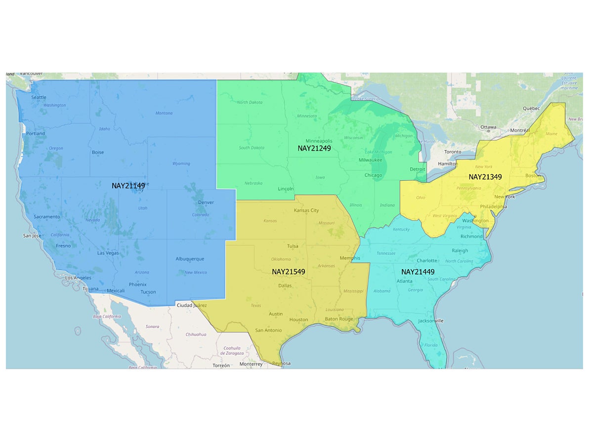
- Region-specific map product
- Verify device and map version
What To Verify Before Checkout
- Exact package contents should be reviewed before checkout
Product Images
Fulfillment, Returns, and Warranty
Product images and specifications are curated by EchoWake Marine for buyer review before checkout.
Warranty and resale eligibility must be verified against manufacturer policy, distributor terms, and the final sourcing path before order acceptance.
RELATED POSTS
View all